SWAT Maps
Soil, Water and
Topography
Maps
UNLOCK YOUR SOIL POTENTIAL
SWAT Benefits
- Increase Your Return on Investment from Applied Nutrients
- Maximize Yield Potential
- Reduce Lodging
- Prevent Nitrogen Loss
- Manage Soil pH
- Improve Soil Applied Herbicide Performance
- Even Crop Staging, Maturity, and Minimize the Risk of Disease


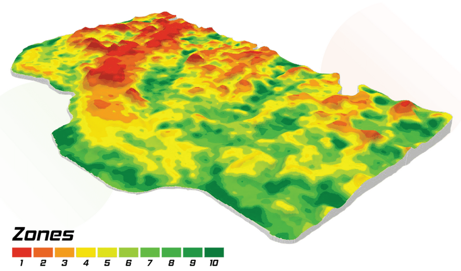
Soil, Water, and Topography (SWAT) MAPS are high-resolution soil foundation maps used to execute variable rate fertilizer, seed, soil amendment, pesticide, or precision water management. They are created using our patented process.


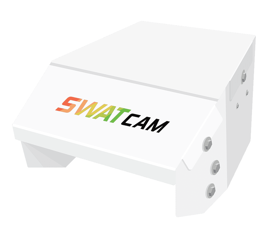
The SWAT CAM is mounted to a sprayer (one SWAT CAM on each boom) and captures images every 50 to 70 feet. These images are automatically uploaded to SWAT RECORDS where our software separately assesses the crop versus weed leaf area. From this assessment, you’ll receive an auto-generated ‘Crop and Weed Map’ summarizing your crop and weed data by SWAT zone.


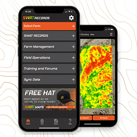
SWAT RECORDS is our software that runs the entire SWAT ECOSYSTEM, think of it as the foundation. Our mobile app is free to download in the App Store and Google Play Store. Use SWAT RECORDS with ease from your phone, tablet or computer.


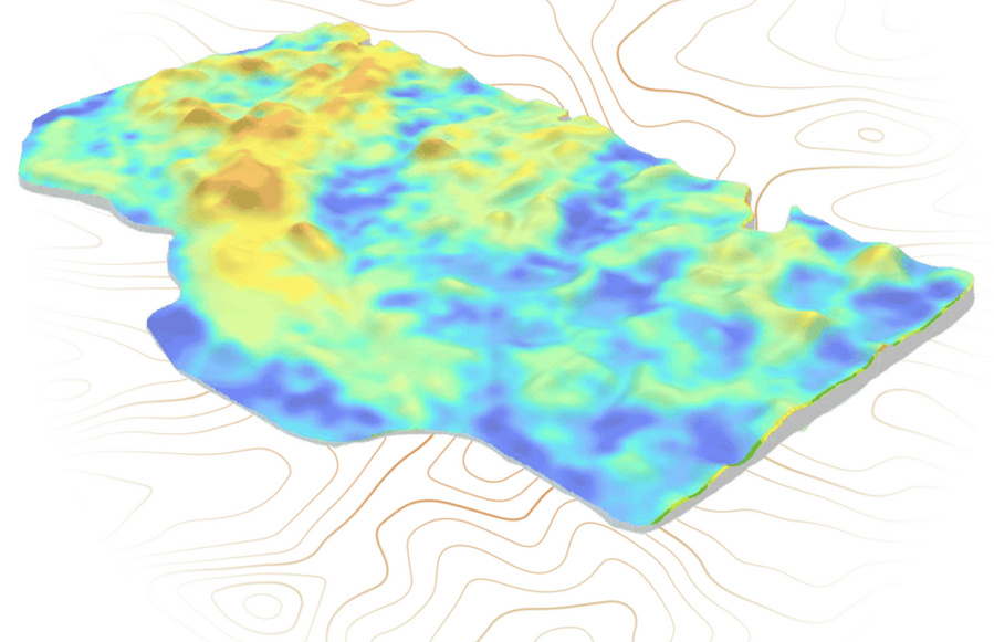
Using SWAT MAPS as the base layer, SWAT WATER takes detailed soil moisture sensor data, to create a soil water map. SWAT WATER calculates your field’s moisture holding capacity, plant available water, and days to stress by zone. This information can be used for fertilizer top-dress applications, fungicides, growth regulators, and variable rate irrigation.
Ontario SWAT Map Press
Ontario SWAT Map Providers
Copyright - Ontario SWAT Map Service Providers


